Search Content

Docker Logo
Anzeigen

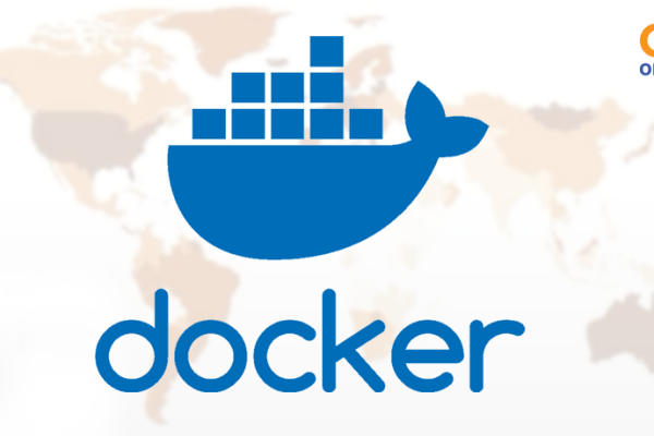
Introduction to Docker for geodata processing

The course explains the use of Docker to deploy and scale applications in geographic information systems (GIS). Docker enables the creation of isolated environments, called containers, that run indepe…
OER CC BY-SA
OER4SDI Logo
Anzeigen

Lessons on Spatial Data Infrastructure

The OER4SDI project aims to develop and publish a collection of CC-licensed teaching materials. These materials are intended for students in study programs such as geoinformatics, geodesy and geomatic…
OER CC BY-SA
AAA Logo
Anzeigen

The AAA data model

How much forest area is there in a district? How well is a municipality provided with daycare centers? Where might there be gaps in basic medical care? These are all questions that require spatial dat…
OER CC BY-SA
CDEC
Anzeigen

CDEC: Climate Data Entrepreneurial Club

In future, the CDEC website will provide teaching materials and learning modules on the topics of digital, AI and (geo)data skills. The content focuses on the processing of climate data and the develo…
columbus eye
Anzeigen

Columbus Eye & LEIA

The Columbuseye / LEIA website contains various teaching materials and further background information on the topics of remote sensing, the Moon and the Earth-Moon system, which have been prepared inte…
CC BY-NC-ND
FIS, Satellite
Anzeigen

Remote Sensing in Schools

The "Remote Sensing in Schools" (FIS) project is an educational initiative that focuses on the use of remote sensing technologies in schools to impart knowledge and skills to students in this field.
CC BY-NC-ND
EO College
Anzeigen

Earth observation: EO-College

EO College is an educational platform specializing in Earth Observation (EO). It offers a comprehensive range of resources and courses designed to educate students, professionals, and enthusiasts abou…
CC BY-NC-ND